Gravel and Offroad
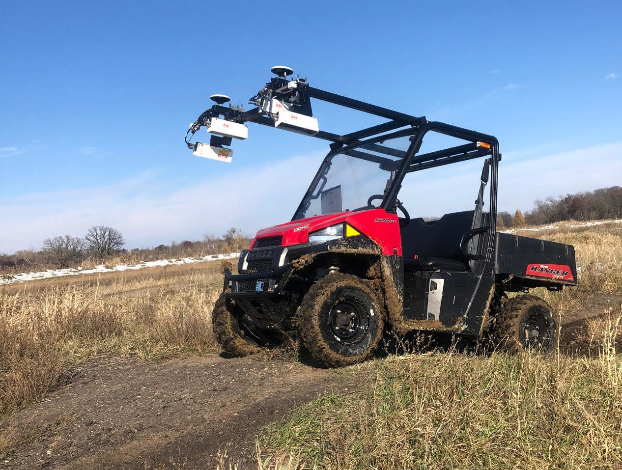
Overview
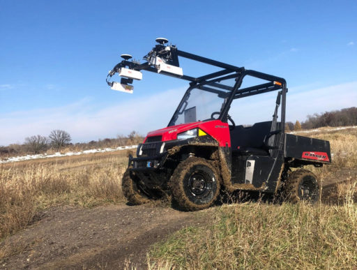
Profile cross-country or secondary roads with systems built for rough terrain.
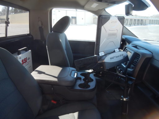
- Keep all sensors inside the vehicle with the CS9400-OR.
- Collect grade changes with survey accuracy with the CS9470.
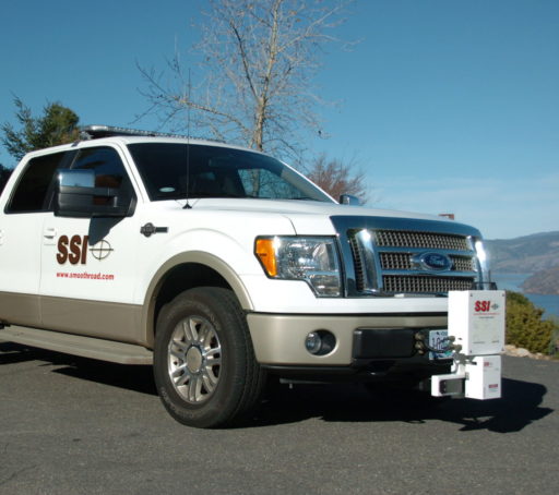
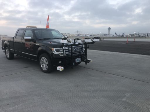
- Scan entire road surfaces with the CS8770 or CS9500.
Profile Without External Sensors
For rough terrain that is unsafe for traditional laser or LiDAR sensors the fully enclosed CS9400-OR is an accelerometer based profiler that can collect two tracks based on vehicle response. SSI’s system can accurately match an inertial profiler’s profiles through our software algorithms and electronics.
Recommended: Off Road
Highly Accurate Elevations and Grades Without a Survey Crew
The CS9470 Grade Profiler uses a military grade IMU to collect grades and cross-slopes over rough terrain. This system can be paired with a base station yielding RTK or PPK corrections for 10mm horizontal and 25mm vertical elevation accuracies – the next best accuracy behind a survey crew.
The CS9470 outputs a single or dual track profile which can be used to calculate grade changes such as Kvalue.
Recommended: Off Road
Survey Profilers Capture Profile and Point Clouds
The CS9500 and CS8770 Survey Profilers allow for over 350 elevation points to be collected at each transverse sample – usually 2-inches longitudinally. These systems can have a low resolution of 5mm x 5mm at slow speed.
Output high density LAS point cloud files that can be used to extract profile lines and create suspension or design models.
Recommended: Mobile Surveying

